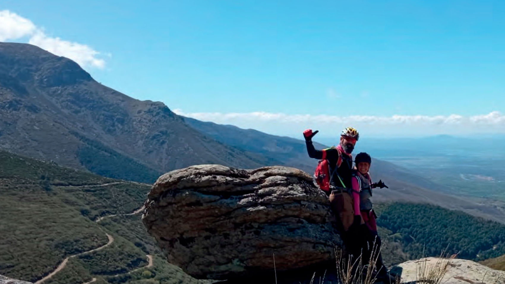
Marchagaz
Vía Oleum
Apasiónate con la cultura de la aceituna manzanilla cacereña catando sus aceites y conociendo el olivar.
Duración
2 horas y 30 minutos
Idiomas
Castellano
Ideal para
5-50 personas Familias, parejas y amigos
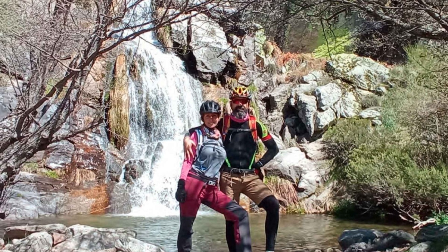
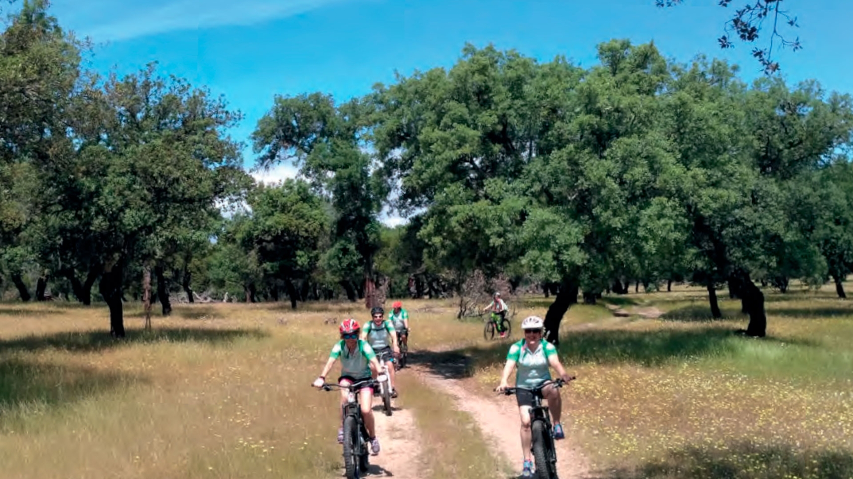
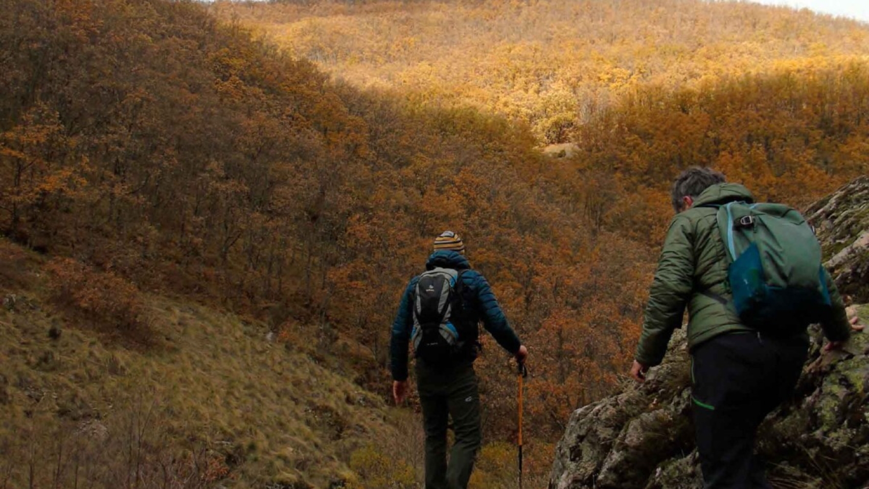
TODA UNA EXPERIENCIA…
Viviendo una experiencia didáctica y divertida en un ambiente rural y de naturaleza.
¿QUÉ HARÁS?
Os proponemos una experiencia didáctica y divertida en Marchagaz, en un ambiente rural y de naturaleza. Adentraros en el cultivo de la manzanilla cacereña, que encontraréis en Trasierra-Tierras de Granadilla, y de la mano de una familia profesionales del mundo del aceite de oliva, premiados internacionalmente y sobre todo apasionados por su trabajo y la cultura del aceite.
Conoceréis la cultura del olivo y el AOVE a través de un curso de cata de aceites, donde aprenderéis a catar, a conocer los atributos positivos y negativos del aceite, y a disfrutar con sus aromas y sensaciones. Visitaréis dos almazaras, una antigua y otra moderna, aprendiendo de ellas cómo se extrae el aceite, sus diferencias y coincidencias a lo largo del tiempo.
Y el broche final: visita a un olivar ecológico junto con una ganadería, un auténtico tesoro, muestra de la simbiosis entre agricultura y ganadería para hacer sostenible un cultivo tradicional.
- PRECIO:
- "Consultar tarifa con el proveedor"
- Organizado por Oleosetin
- EL PRECIO INCLUYE:
- Visita guiada.
- Degustación de productos locales, cata de aceite de oliva virgen extra de la variedad manzanilla cacereña autócona de la sierra que elabora la empresa y que está premiado como uno de los mejores del mundo.
- A TENER EN CUENTA:
- Reserva previa con 24 h de antelación.
- Opcional: el propio grupo puede contratar aparte un guía-traductor para que los acompañe en la visita.