Techo de Extremadura
Distancia
34,42 km
Dificultad
Difícil
Sendero
Circular
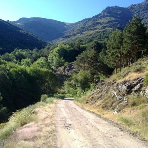
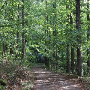
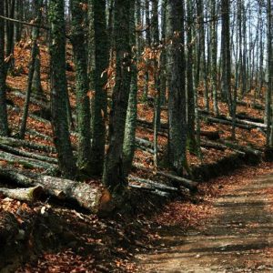
En esta ruta destacan los bosques diversos, formaciones geológicas erosionadas por el agua y la vida silvestre. Además, La Garganta y Hervás cuentan con atractivos arquitectónicos e históricos, incluyendo iglesias, el Pozo de las Nieves y la Judería. El paisaje ofrece vistas panorámicas desde el pico de La Muela, junto con numerosos arroyos y ríos a lo largo de la ruta.
La ruta se inicia en Hervás, coge la senda de los Bosques del Ambroz, posteriormente el sendero del Lobo y el ascenso del final para llegar al alto de la Muela en La Garganta, desde donde se inicia el descenso por otros caminos.
Ver más rutas

Kilómetro vertical Valdeamor

Hervás, Baños, La Garganta

Techo de Extremadura

Los Tres Valles


