Jarilla
Adrenalina, destreza y diversión en la Garganta Perdida
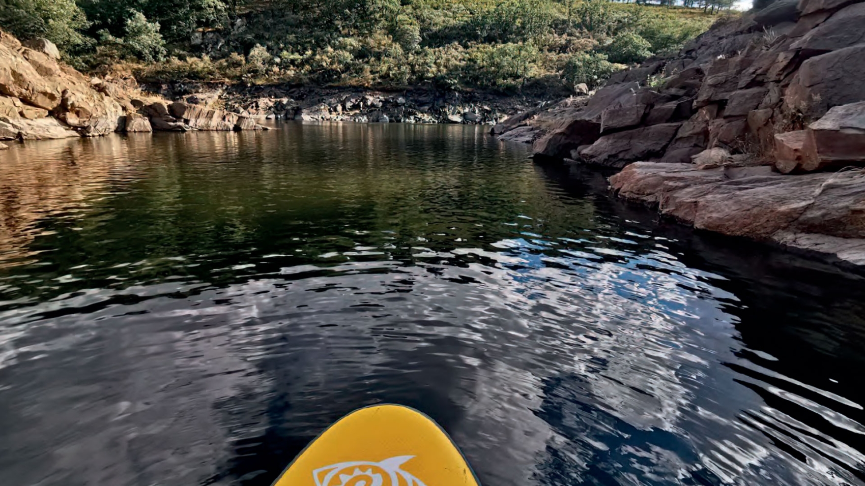
Desciende la garganta rapeleando y descubriendo sus increíbles vistas.
Duración
4 horas
Horarios
Todo el año De lunes a domingo De 10h a 14h
Idiomas
Castellano
Ideal para
1-8 personas Familias, parejas y amigos
TODA UNA EXPERIENCIA…
Sintiendo el alto valor paisajístico, las espectaculares panorámicas y la singular belleza del bosque de Ribera.
¿QUÉ HARÁS?
¿Estáis listos para vivir una emocionante experiencia descendiendo por el cauce de la Garganta? ¡Si ya habéis tenido una primera toma de contacto con el barranquismo, no te puedes perder nuevas sensaciones! Ayudados cuando sea necesario por instalaciones de cuerda, por guías cualificados, y equipados con arnés, traje de neopreno y casco, nos divertiremos aprovechando la orografía propia del terreno. Realizaremos rápeles, toboganes y saltos en un entorno muy vertical.
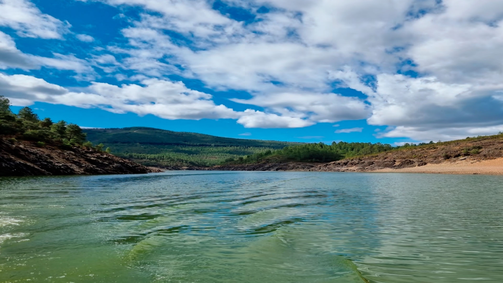
Os recibirán para iniciar una ruta senderista hasta la parte superior de la Garganta Perdida, donde encontraréis rápeles muy panorámicos con vistas de toda la comarca, Embalse de Gabriel y Galán, comarca de Trasierra y Las Hurdes. En la parte superior realizaréis un recorrido más paisajístico, con unas vistas espectaculares. La garganta Perdida no es muy acuática pero sí vertical, en la parte inferior del barranco, sentiréis la adrenalina recorriendo rápeles más encajonados.
¿Os atrevéis a adentraros en La Garganta Perdida? ¡Adrenalina y diversión aseguradas!
- PRECIO:
- "Consultar tarifa con el proveedor"
- Organizado por La Aldea Juglar - Boquique Aventura
- EL PRECIO INCLUYE:
- Guía especializado y titulado.
- Material y equipo técnico para realizar la actividad: casco, neopreno y cuerdas.
- A TENER EN CUENTA:
- Edad mínima para realizar la actividad: 12 años.
- Necesario disponer de zapatillas deportivas o sandalias de baño y bañador/bikini o similar.
- Disponibilidad sujeta a condiciones meteorológicas.
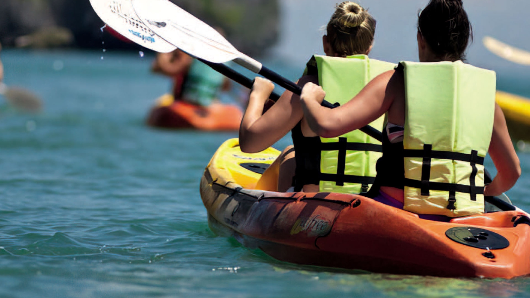
- Uso obligatorio de chaleco.
- Notificación de datos sobre el tallaje.
- Dificultad: Nivel Fácil-Intermedio.
- Barranco de 2a iniciación, para personas que hayan tenido una pequeña toma de contacto y quieran repetir o tener otro tipo de sensación.