gargantilla-ruta-destacada

SL-CC 94 Collado de Enmedio

SL-CC 94 Collado de Enmedio

Distance

14 km

Time

4 hours

Difficulty

Moderate

Path

Loop

Powered by Wikiloc

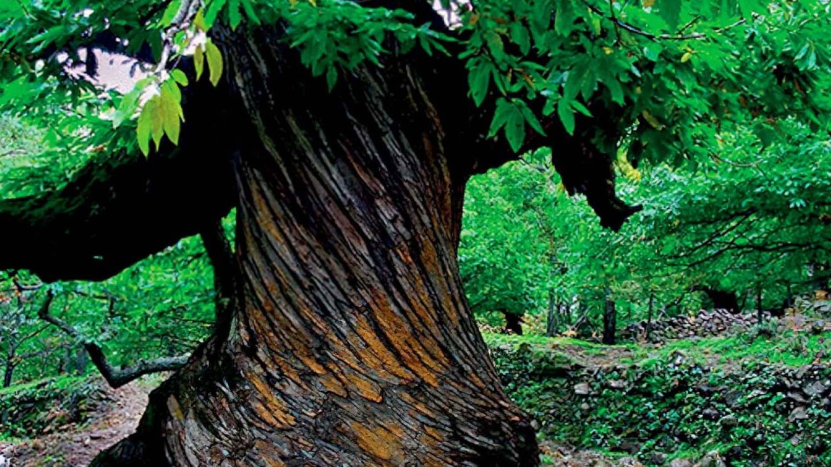
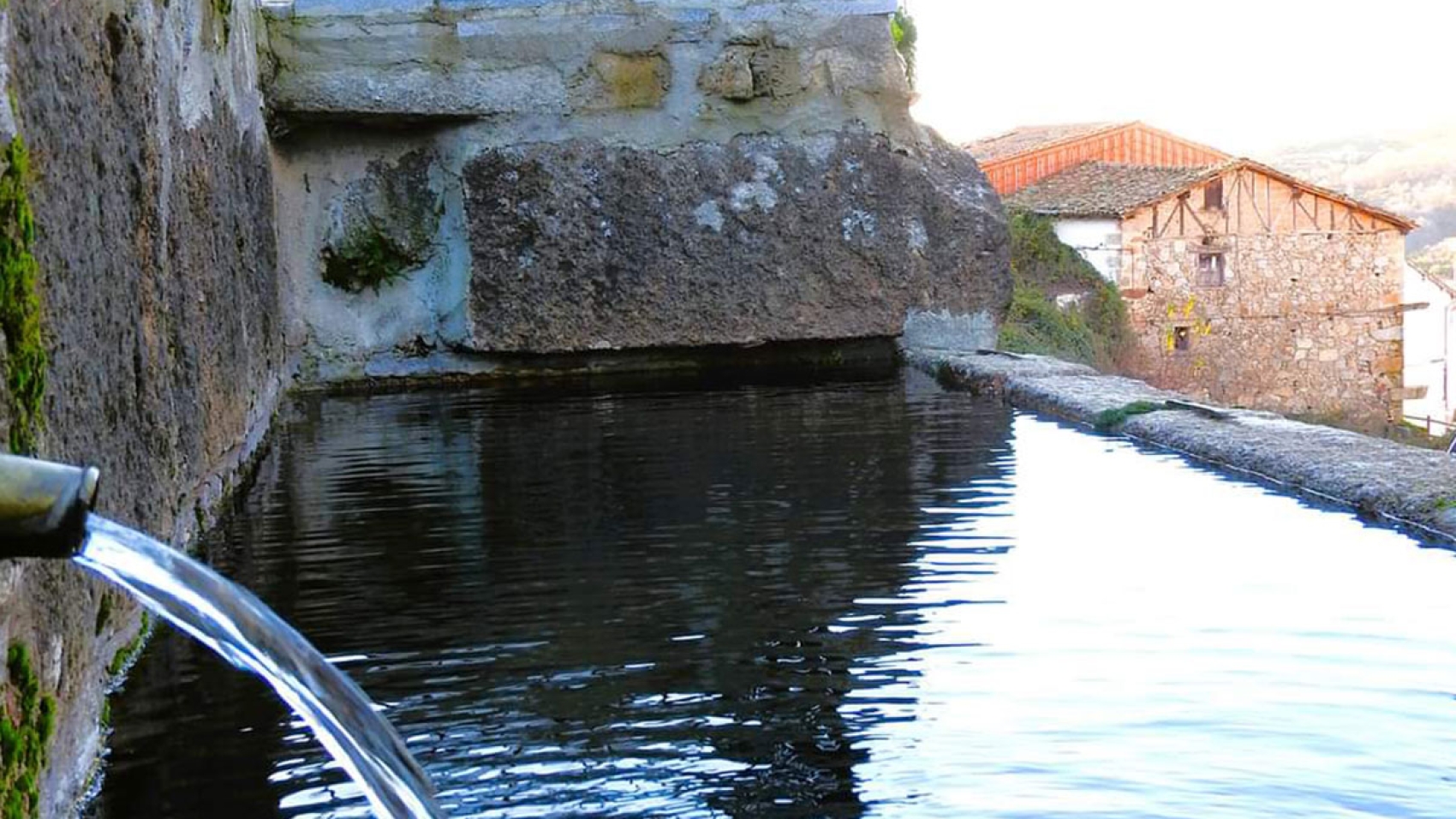
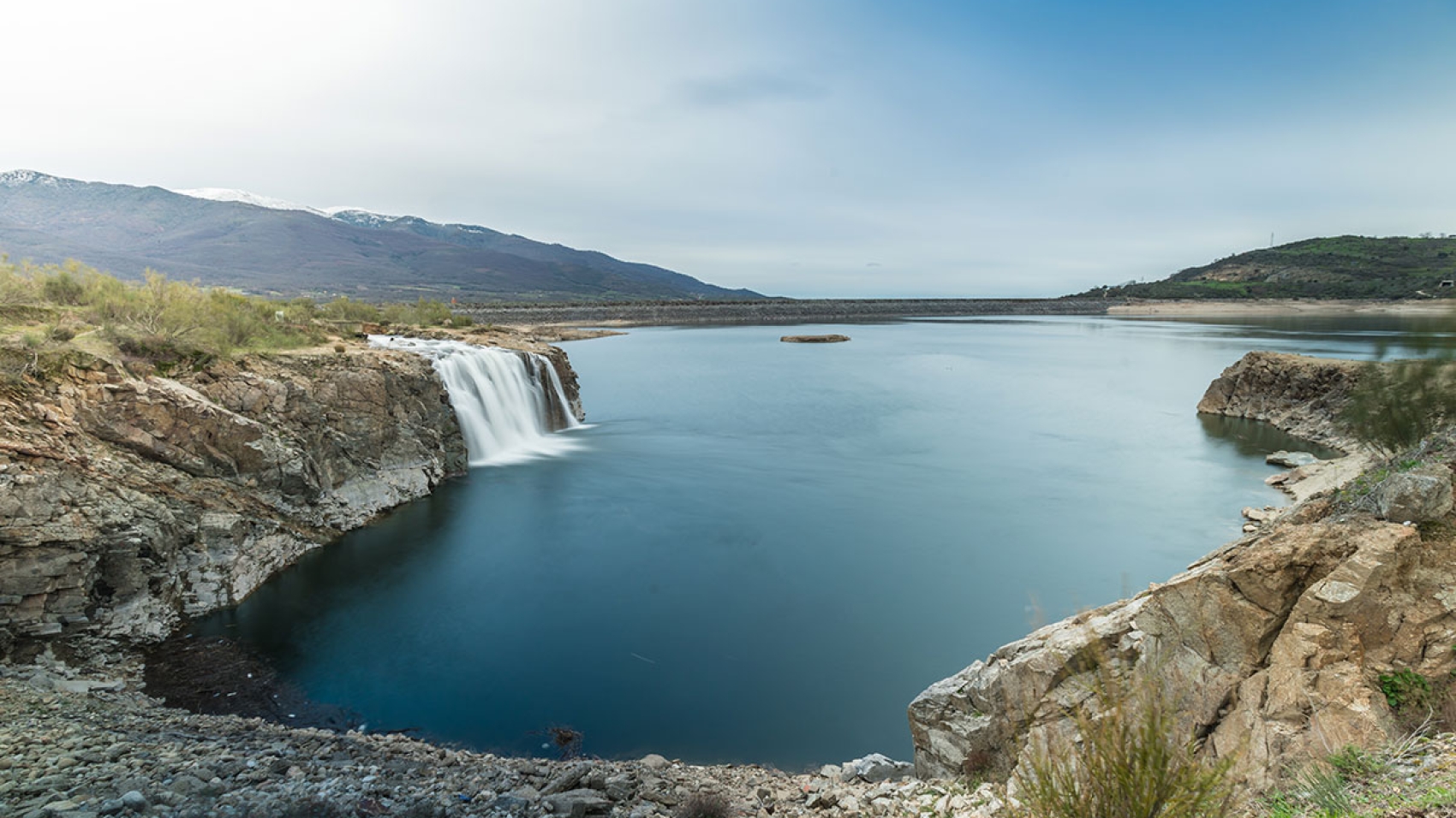
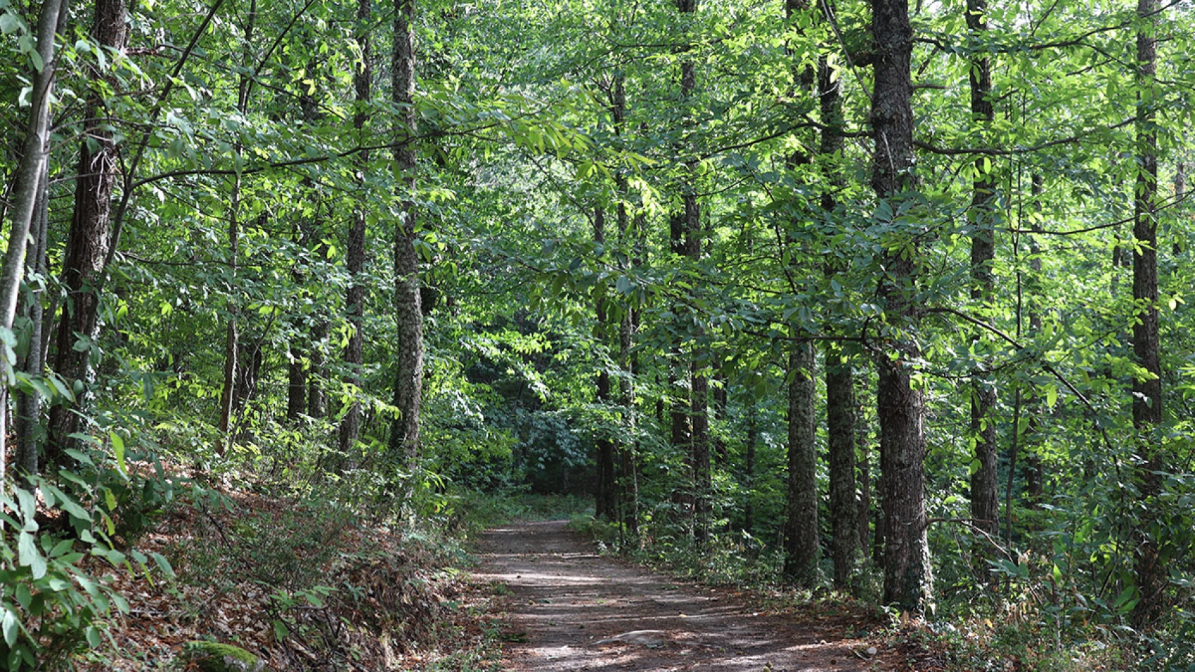
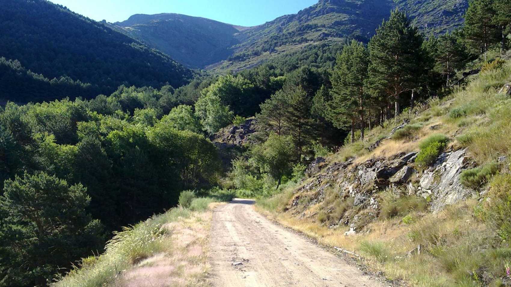
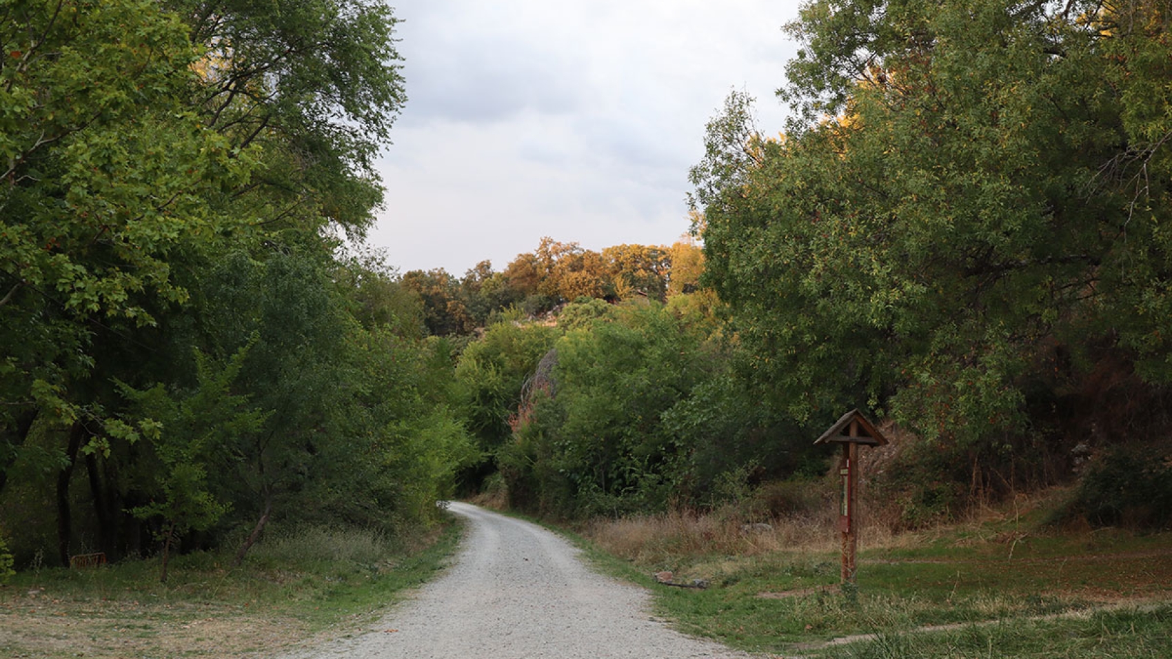
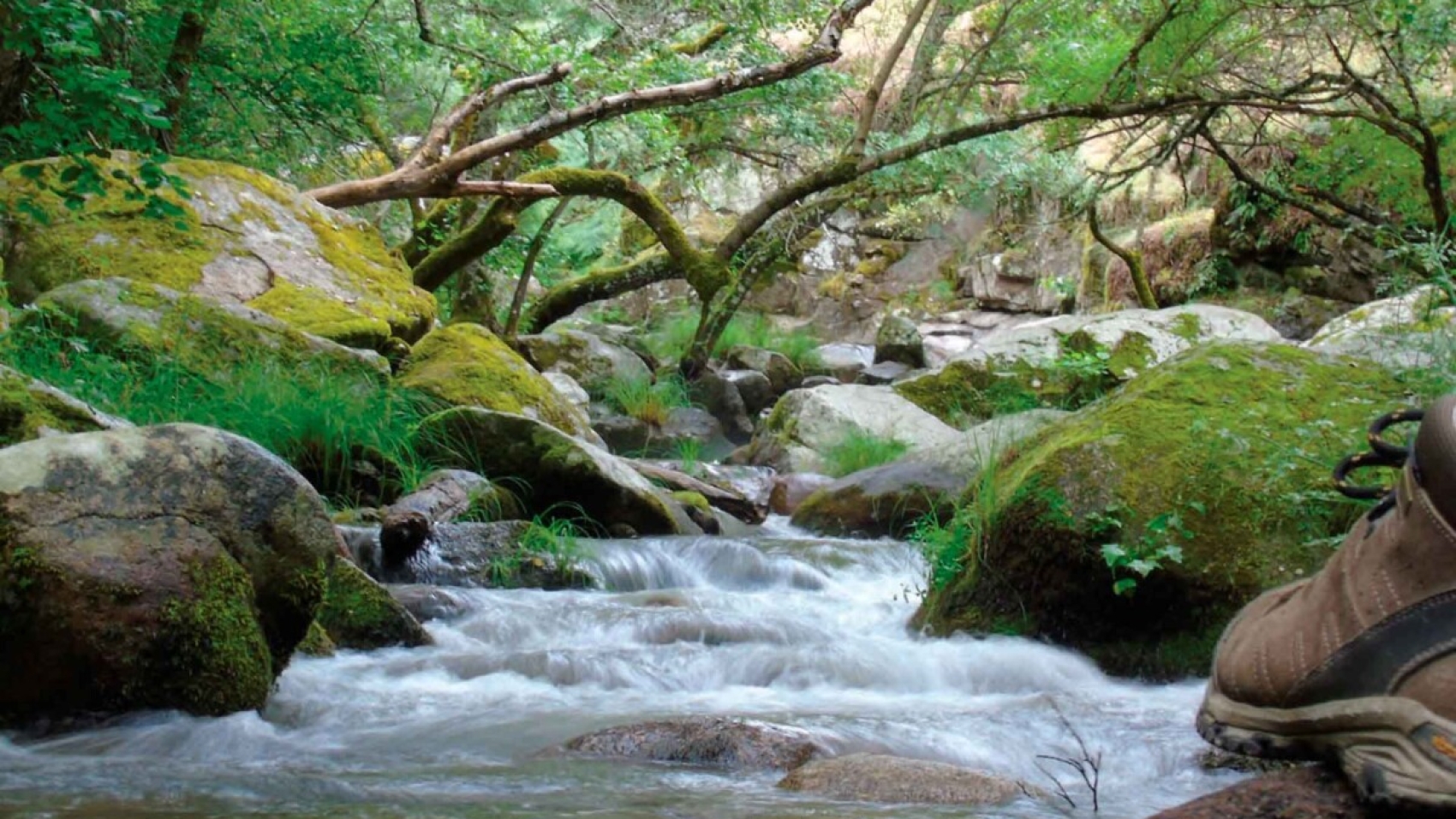
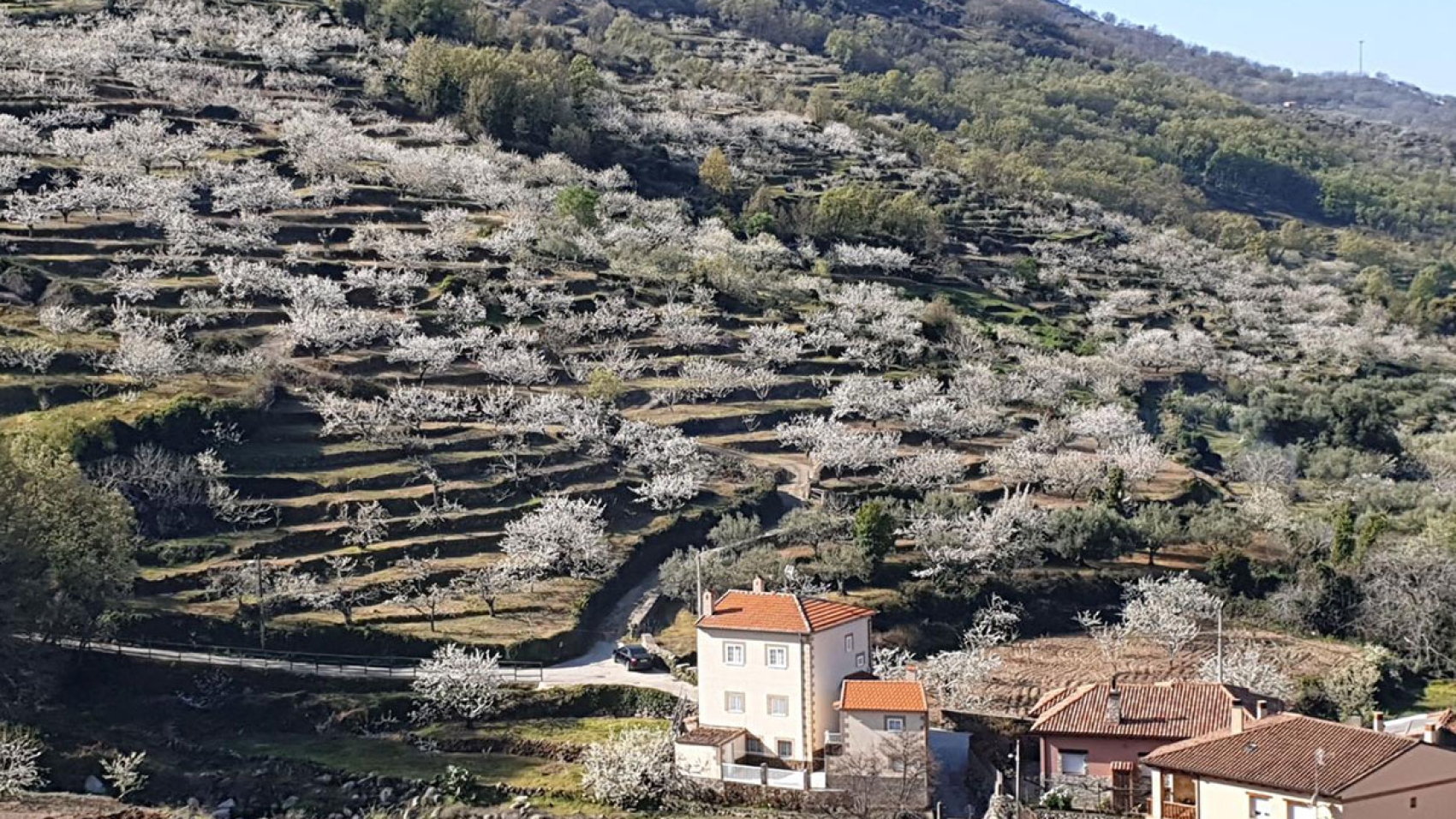
Our starting point is the refreshing natural pool in Gargantilla. The trail ascends steadily, winding through picturesque cherry orchards and dense Pyrenean oak forests, until it reaches the charming “Collao Corral”. From this vantage point, three small hills come into view, including the one in the middle, aptly named “Collao de Enmedio”. From this elevation, the views of the Ambroz Valley, the Vía de la Plata, the dehesas, and the Gabriel y Galán Reservoir are truly breathtaking. It’s now time to make the 7-kilometre journey back to the town where we started. It’s highly recommended to do this trail in the spring when the cherry blossoms are in bloom. The blanket of white flowers that appears at that time of the year is a stunning sight to behold.

Visit more trails
CastanosTemblarSeguraToro

SL-CC 93 Castaños del Temblar

SL-CC 93 Castaños del Temblar

Distance

3,6 km

Time

1 hour

Difficulty

Easy

Path

Loop

Powered by Wikiloc

We leave Segura de Toro to embark on a fascinating journey to the Bosque Castaños del Temblar, a picturesque chestnut forest. Here, on the banks of the serene Temblar Stream, there are five monumental chestnut trees aged between 600 and 700 years old that have stood the test of time. These noble trees have had protected status since 2001. Each one has its own name and together they stand as silent witnesses to centuries of history.

Exploring this forest in spring or autumn is like stepping into a kaleidoscope of vibrant colours and a blanket of leaves all around you. Walking among these giants of nature is a truly unique experience. Without a doubt, a visit to this century-old forest is a must for those seeking a deep connection to the natural history of our planet.

It is located on private property and access is restricted from 15 October to 15 January.

Visit more trails
la-garganta-3

SL-CC 92 Camino de Arrieros

SL-CC 92 Camino de Arrieros

Distance

4,3 km

Time

2 hours

Difficulty

Easy

Path

Linear

Powered by Wikiloc

The journey through chestnut and oak groves begins at the Town Hall in Baños de Montemayor, where a charming local trail leads to the neighbouring village of La Garganta. The term “Camino de Arrieros” refers to the mule drivers who transported goods on horses and mules, and that is the route we will be taking.

From Baños it is an uphill climb, ascending from and elevation of 700 to 1,000 meters along a mostly cobbled path, making it hard to get lost. The trail ends at the Fuente Nueva in La Garganta.

Baños de Montemayor is best known for its thermal spring which has been used since Roman times. Today, it offers a modern spa experience for relaxation and rejuvenation.

Visit more trails
baños-de-montemayor-pantano

PR-CC 40 Baños Reservoir

PR-CC 40 Baños Reservoir

Distance

12 km

Time

3 hours

Difficulty

Easy

Path

Loop

Powered by Wikiloc

This energising loop trail begins in the charming town of Baños de Montemayor. A large part of the trail runs along the banks of the Baños Reservoir, which is part of the Tagus River Basin. There is also some elevation gain, from where you contemplate both the reservoir and the Tras la Sierra mountains and Pico Pinajarro. If you do the trail in winter, you’ll also see snow-capped mountains. This loop trail begins and ends next to the Humilladero Hermitage, a 17th-century chapel known for its Christ of Mercy.

Visit more trails
castañar-destacada

PR-CC 39 El Castañar del Duque

PR-CC 39 El Castañar del Duque

Distance

15 km

Time

4 hours

Difficulty

Moderate

Path

Loop

Powered by Wikiloc

We begin this fascinating trail in Hervás in the Castañar Gallego, where dense chestnut forests lead us to La Garganta de Andrés. From here, the trail continues on to “El Castañar del Duque”, another chestnut forest in Aldeanueva del Camino.

The chestnut is the most iconic tree in the Ambroz Valley and Montes de Tras la Sierra. It is known for the earthy shades of ochre it adds to the forest the region’s long-standing tradition of timber and basketry industries are centred around the chestnut tree. These two chestnut groves account for more than half of the chestnut forest in the Tras la Sierra Mountains.

Visit more trails
pista-heidi-destacado

PR-CC 38 Heidi Trail

PR-CC 38 Heidi Trail

Distance

30 km

Time

8 hours

Difficulty

Moderate

Path

Loop

Powered by Wikiloc

The “Heidi Trail” is a fascinating trail that snakes around the impressive Sierra de Hervás, reaching an average elevation of 1,100 metres. This panoramic trail offers amazing views ranging from the verdant Ambroz Valley to the majestic mountain ranges in northern Cáceres.

Along the way you’ll be treated to the beauty of chestnut and oak forests as you start out, pine forests in the middle, which give way to broom and heather in the higher elevations. You can take a detour to see the waterfall. You may also spot some griffon vultures since there is a vulture nesting site near the trail.

Visit more trails
rutas-trail-running-cabecera

PR-CC 37 Bosques del Ambroz

PR-CC 37 Bosques del Ambroz

Distance

22 km

Time

6 horas

Difficulty

Moderate

Path

Linear

Powered by Wikiloc

This enchanting trail follows the path of the traditional cycling and hiking tour, a key part of the “Magical Autumn” celebration in the Ambroz Valley. Starting in La Garganta, the trail traverses the mountains of the Ambroz Valley, passing through charming villages like Hervás, Gargantilla, Segura de Toro, and Casas del Monte. Along the way, there are chestnut forests, riverside groves, terraced cherry and plum plantations, and the Extremaduran dehesa. Finally, you’ll end up back in Hervás, after an exhilarating journey through the lush forests so characteristic of Ambroz.

Visit more trails
via-verde-destacada

Vía Verde de la Plata Plasencia-Béjar

Vía Verde de la Plata Plasencia-Béjar

Distance

74 km

Time

1 día

Difficulty

Moderate

Path

Linear

Powered by Wikiloc

The Vía de la Plata is an ancient Roman road that connected the cities of Béjar and Plasencia. This trail is part of a country-wide network of greenways created by repurposing former railway lines that have fallen into disuse. The Vía Verde de la Plata is one of the longest and best known trails in the network, offering visitors the opportunity to enjoy the natural and cultural heritage of the two regions.

The route is approximately 74 kilometres long, making it an ideal option for hikers and bikers of all expertise levels.

Visit more trails
ChorreraCharcasVerdes

PR-CC 36 La Chorrera

PR-CC 36 La Chorrera

Distance

12 km

Time

4 horas

Difficulty

Moderate

Path

Loop

Powered by Wikiloc

From the charming Plaza del Convento in Hervás, we embark on an exciting journey through a natural landscape of dazzling beauty. Following the course of the Ambroz River, we’ll go almost as far as the river’s origin, to the majestic La Chorrera waterfall, set on a spectacular slope of the Canchal del Pinajarro.

The trail crosses the Vía Verde iron bridge, passes the Casa de la Luz, and then ascends along a winding trail to the breathtaking La Chorrera, a natural waterfall near the source of the Ambroz River.

Visit more trails