baños-de-montemayor-destacada

Hervás, Baños, La Garganta

Hervás, Baños, La Garganta

Distance

18,98 km

Difficulty

Moderate

Path

Loop

Powered by Wikiloc

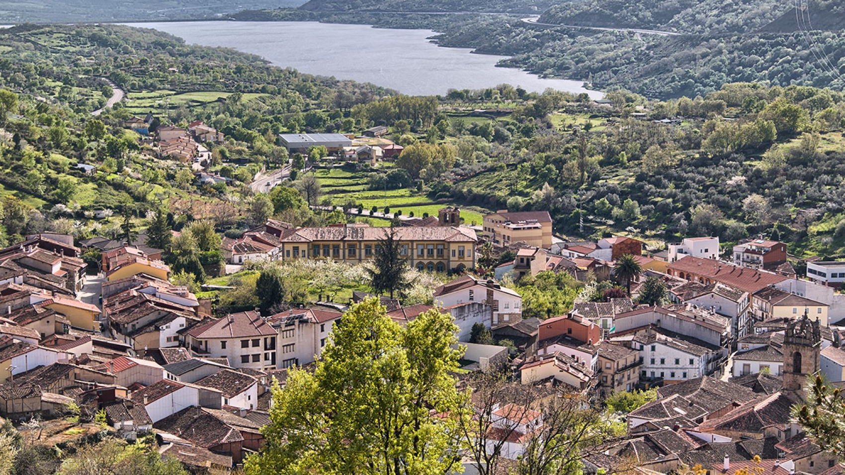
An interesting trail that combines mountain landscapes and historic roads such as the Mule Driver’s road and the Vía Verde, the old railway and impressive panoramic views. It begins at the Hervás Tourist Office and follows the Vía Verde until it reaches Baños de Montemayor. It then climbs up the Camino de Arrieros to La Garganta and takes different paths on the descent back to Hervás.

It offers diverse landscapes featuring farmland, chestnut and oak forests, and abundant wildlife. The panoramic views from the Vía Verde and the Camino del Lomo in La Garganta are breathtaking.

Visit more trails
castañar-duque-destacada

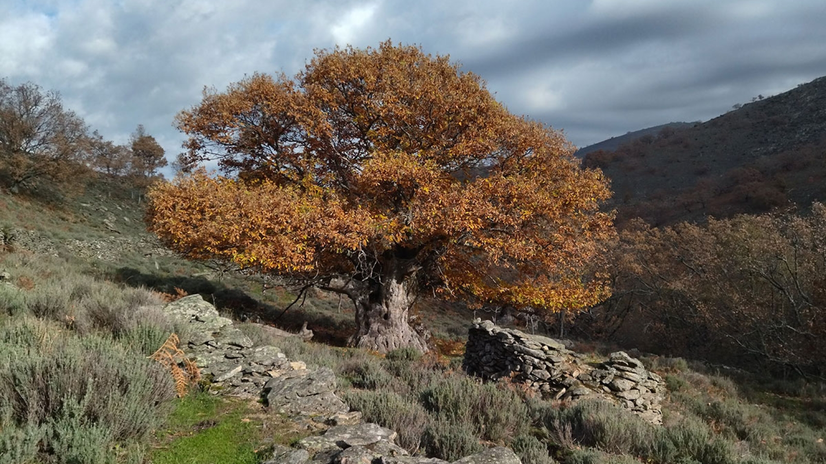
The Gallego and Duque chestnut groves

The Gallego and Duque chestnut groves

Distance

15,2 kms

Difficulty

Moderate

Path

Loop

Powered by Wikiloc

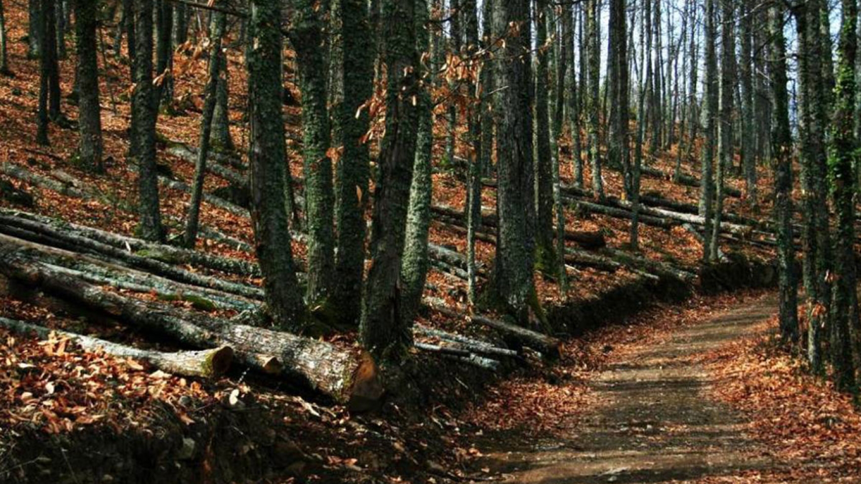
The trail starts at the Tourist Office in Hervás and follows the road to Gargantilla to access the Bosques de Ambros Long Distance trail. The itinerary includes different sections such as the Heidi Trail before looping back to the starting point. This trail offers panoramic views and passes through the beautiful Gallego and Duque chestnut groves.

Visit more trails
hervas-1

Techo de Extremadura

Techo de Extremadura

Distance

34,42 km

Difficulty

Difficult

Path

Loop

Powered by Wikiloc

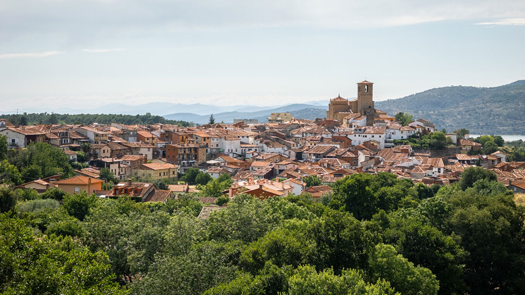
This route features a series of forests, wildlife and geological formations created by erosion. Some of the architectural and historic attractions in La Garganta and Hervás include churches, the Pozo de las Nieves and the Jewish Quarter. The landscape offers panoramic views from La Muela peak, along with numerous streams and rivers along the way.

From the trailhead in Hervás, we follow the Bosques del Ambroz path, then the Lobo path before the final ascent to the top of La Muela in La Garganta. From there, the trail descends along other paths.

Visit more trails
castañar-destacada

Los Tres Valles

Los Tres Valles

Distance

21,05 km

Difficulty

Difficult

Path

Loop

Powered by Wikiloc

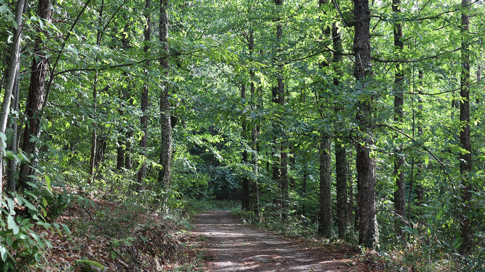
“Trail Running Los Tres Valles – Trail Station” is an exciting trail that combines running and hiking in Sierra de Hervás. Enjoy panoramic views, oak and chestnut forests, and historic sites such as the Casa de Marinejo and the Casa de la Luz, as well as spectacular natural landmarks such as the Charcas Verdes and the Chorrera, a 30-meter waterfall. A perfect combination of sport, nature and culture in a breathtaking mountain setting.

Visit more trails
lagares-celtas-destacada

SL-CC 101 Celtic Presses

SL-CC 101 Celtic Presses

Distance

5,5 km

Time

1.5 hours

Difficulty

Easy

Path

Loop

Powered by Wikiloc

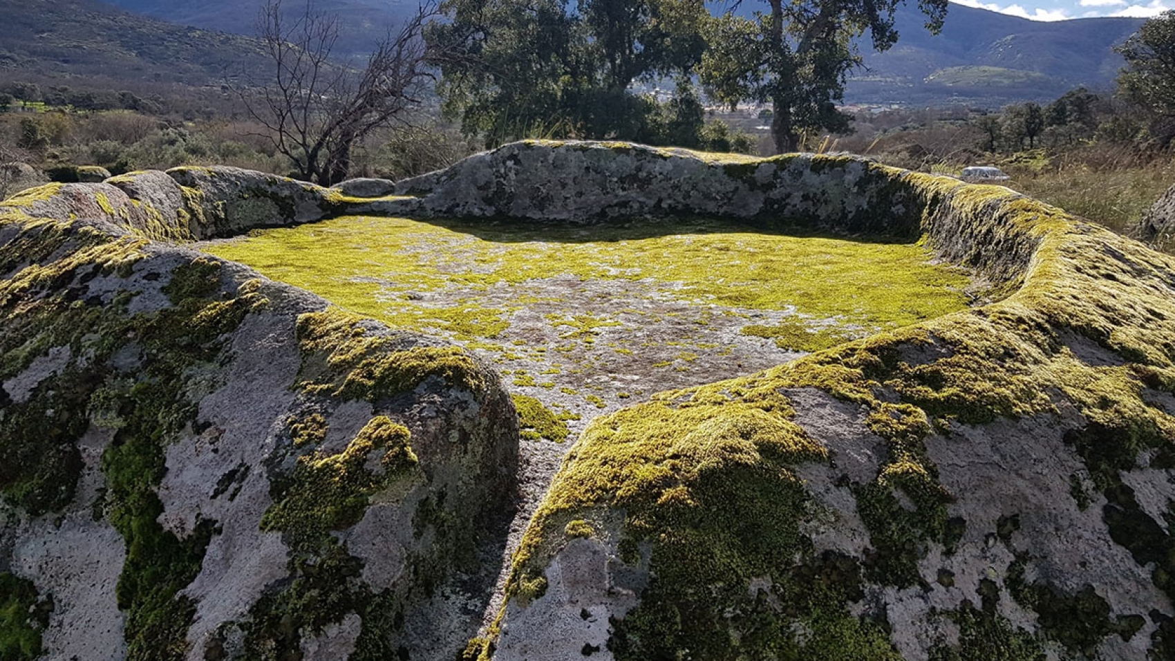
This short trail takes you to a mysterious and seldom-visited area, rich in historical significance. Starting in Segura de Toro, the trail leads to the Celtic presses, cavities carved into the rock which are believed to have been used for collecting liquids such as wine, oil, or cider.

Some of the vestiges of the ancient Celtic community that inhabited the area and worth seeing and admiring.

Visit more trails
burila

SL-CC 98 La Burila

SL-CC 98 La Burila

Distance

14,5 km

Time

3.5 hours

Difficulty

Moderate

Path

Loop

Powered by Wikiloc

This trail examines two different ways of understanding life throughout history.

Starting in the beautiful square of Aldeanueva del Camino, this itinerary takes us on a unique journey along the ancient Vía de la Plata.

The trail takes us from Aldeanueva del Camino – an agricultural and commercial town in the valley along the Vía de la Plata – to Segura de Toro, a livestock-raising town in the mountains. Here, the trail leads us to the spectacular Garganta Grande. The trail loops back taking a different path and giving us another opportunity to experience the beauty and history of the Ruta de la Plata.

Visit more trails
nevero-la-garganta-2

SL-CC 97 El Nevero

SL-CC 97 El Nevero

Distance

6,4 km

Time

2.5 hours

Difficulty

Easy

Path

Loop

Powered by Wikiloc

The highlights of this trail are the mountains and the traditional engineering of La Garganta in the Ambroz Valley.

Starting out from the village of La Garganta, the trail passes by some very curious places, such as the mysterious Corral de los Lobos. This is an old stone enclosure used to trap  wolves, those elusive predators that posed major problems for livestock farmers in the area.

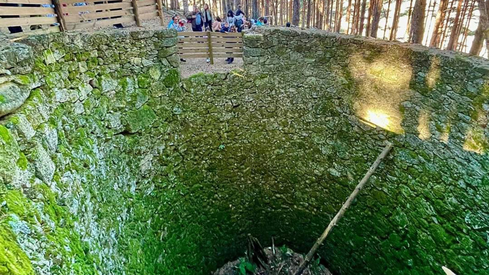
We’ll also visit El Nevero or Pozo de la Nieve, a stone pit designed to keep the snow frozen during the winter and market it in the summer months.

There are also exceptional panoramic views of the impressive Ambroz Valley at elevations exceeding 1,000 metres.

Visit more trails
casas-del-monte-1

SL-CC 96 El Moralejo

SL-CC 96 El Moralejo

Distance

5,7 km

Time

1.5 hours

Difficulty

Easy

Path

Loop

Powered by Wikiloc

This trail begins at the entrance of Casas del Monte, in the area known as the Vuelta del Liriazo. It’s an easy trail that runs through beautiful landscapes featuring fruit trees, orchards and oak forests.

At the halfway point is the Finca de Moralejo, a large esplanade which is the namesake of the trail, surrounded by a solid stone wall with two distinctive gates. It is worth noting that this property shares a border with the municipalities of Casas del Monte and Jarilla, which adds a touch of uniqueness to this place.

Visit more trails
abadia-convento-2

SL-CC 95 Convento de la Bien Parada

SL-CC 95 Convento de la Bien Parada

Distance

5,6 km

Time

75 minutes

Difficulty

Easy

Path

Loop

Powered by Wikiloc

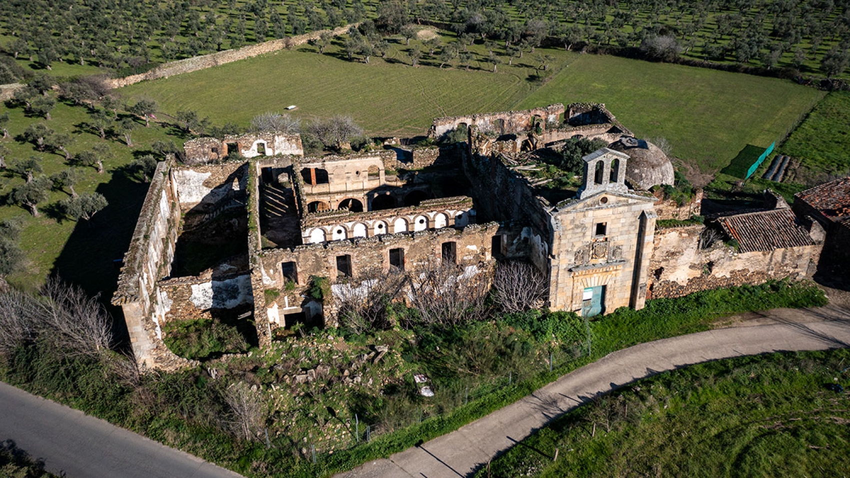
An unbeatable combo of history and nature. From Sotofermoso Palace to the Convent of La Bien Parada the trail follows the course of the Western Soriano Royal Drover’s Road.

Before you start the trail, pay a visit to the Sotofermoso Palace, a Cultural Heritage Asset in the Historic Site category that went from a Cistercian abbey to a Renaissance palace owned by the Dukes of Alba. It’s only open to the public on Mondays.

This easy trail begins in Abadía, specifically at the natural pool on the Ambroz River. Following in the footsteps of the shepherds driving their livestock from Salamanca to southern Extremadura, we will cross this fertile valley on the ancient drovers roads.

At the intersection of the Western Soriano Drovers’ Road and the Royal Drovers’ Road, we come upon the Convento de la Bien Parada. Once a school of theology, it is a historic place where the friars used to collect tithes. Although now in ruins, it is not difficult to imagine how important this place must have been in the past.

All along this peaceful trail there are panoramic views of the imposing mountain ranges that frame the Ambroz Valley.

Visit more trails
gargantilla-ruta-destacada

SL-CC 94 Collado de Enmedio

SL-CC 94 Collado de Enmedio

Distance

14 km

Time

4 hours

Difficulty

Moderate

Path

Loop

Powered by Wikiloc

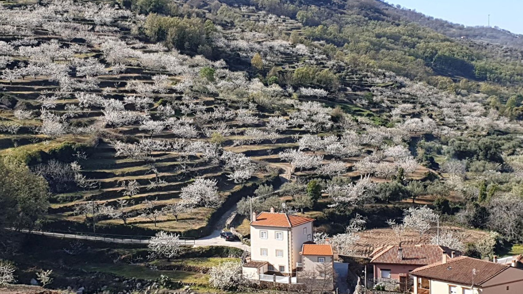
Our starting point is the refreshing natural pool in Gargantilla. The trail ascends steadily, winding through picturesque cherry orchards and dense Pyrenean oak forests, until it reaches the charming “Collao Corral”. From this vantage point, three small hills come into view, including the one in the middle, aptly named “Collao de Enmedio”. From this elevation, the views of the Ambroz Valley, the Vía de la Plata, the dehesas, and the Gabriel y Galán Reservoir are truly breathtaking. It’s now time to make the 7-kilometre journey back to the town where we started. It’s highly recommended to do this trail in the spring when the cherry blossoms are in bloom. The blanket of white flowers that appears at that time of the year is a stunning sight to behold.

Visit more trails