la-granja-destacada

MTB Route 8. Vía de la Plata

MTB Route 8. Vía de la Plata

Distance

22.88 km

Difficulty

Moderate

Path

Straight line

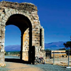
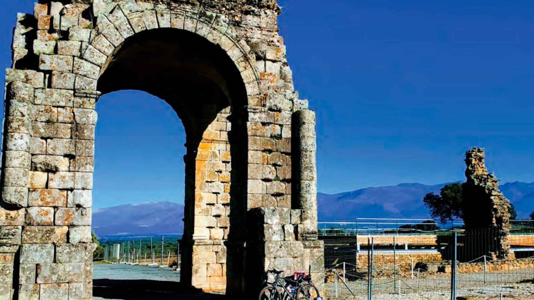
An easy 21 km trail that starts in the Roman city of Cáparra, passes through Zarza de Granadilla and ends in La Granja. Here it connects with the Ambroz Valley Mountain Bike Centre and goes on to Abadía.

The trail starts at the Roman city of Cáparra and follows the Vía de la Plata before turning off towards Zarza de Granadilla through fields near the Ambroz River.

It continues to La Granja, crossing the Ambroz River again, where you can take a dip in the natural pool in summer.

Visit more trails
oliva-de-plasencia-2

BTT Route 7. Trasierra Trail
BTT Route 7. Trasierra Trail
Distance

20.7 km

Difficulty

Moderate

Path

Straight line

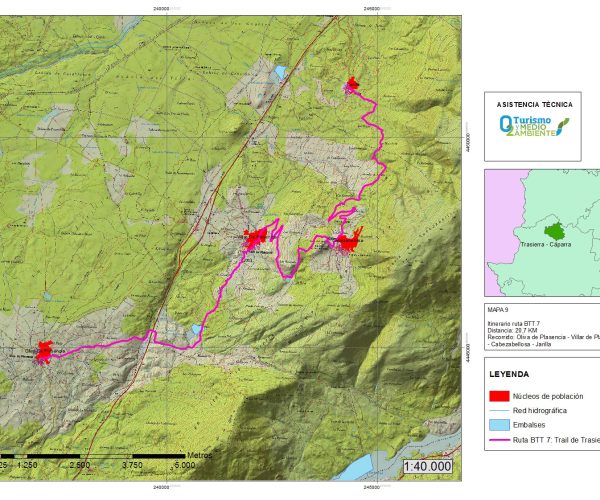
This is a 20 km mountain trail of moderate difficulty that connects all the villages of the Trasierra mountain range. From the trailhead in Oliva de Plasencia, it passes through Villar de Plasencia and Cabezabellosa and ends in Jarilla.

From the trailhead in Oliva de Plasencia, you’ll cross the motorway and continue on to Garganta de la Oliva Reservoir. From there, the trail climbs up to Villar de Plasencia, followed by a steep ascent to Cabezabellosa.
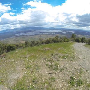
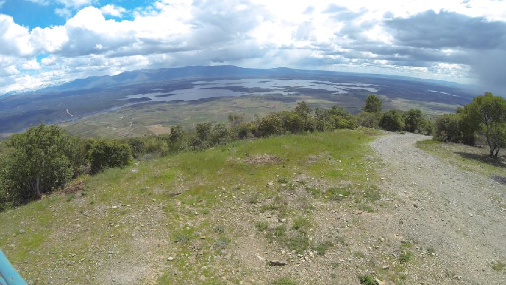
The trail passes by the Cerro del Búho lookout, where you’ll want to stop and contemplate the spectacular views of Trasierra-Tierras de Granadilla and the Gabriel y Galán Reservoir.
The scenic mountain trail ends in Jarilla.

Visit more trails
BiciHistoriaAmbrozCaparra

MTB Route 6. Cáparra

MTB Route 6. Cáparra

Distance

16.14 km

Difficulty

Moderate

Path

Straight line

This trail connects the towns of Guijo de Granadilla, specifically from the entrance to the Church of St. Andrew to Oliva de Plasencia, passing through the emblematic Roman city of Cáparra.

This is an easy 15.6 km trial with gentle slopes and little technical difficulty, making it ideal for cyclists to explore the Gabriel y Galán Museum, the Roman city of Cáparra, and the scenic dehesas of Oliva de Plasencia on the way to the town.

Visit more trails
santa-cruz-de-paniagua-destacado

MTB Route 5. Dehesa de Ahigal

MTB Route 5. Dehesa de Ahigal

Distance

30.04 km

Difficulty

Easy

Path

Straight line

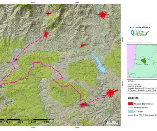
And easy 30 km trail that connects Ahigal with Palomero, crossing through Santibáñez el Bajo, Santa Cruz de Paniagua, El Bronco until it reaches Palomero, with its vast swaths of holm oak dehesas.

From the trailhead in Ahigal, it crosses through Santibáñez el Bajo and the Dehesa Boyal, a fine example of sustainable management and one of the best preserved in the region.
It continues through the Balsa de Suertes Anchas in El Bronco and then on to Santa Cruz de Paniagua. From there, it ascends towards El Bronco, very close to the Los Nogales stream. The trail ends in Palomero, leaving the El Bronco pool behind on the left.

Visit more trails
pico-blanco

MTB Route 4. Sierra de La Pesga

MTB Route 4. Sierra de La Pesga

Distance

12.43 km

Difficulty

Easy

Path

Straight line

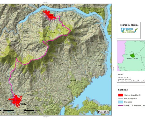
This is 12 km trail of moderate difficulty that runs along the summit of the Sierra de la Pesga, passing through several mountain masses such as the Pinajarro or the Portillo del Culebro until it reaches La Pesga.

The trail starts in Mohedas de Granadilla. Along the way you’ll enjoy the spectacular views from high up in the mountain, the sea of terraced olive trees, and the Gabriel y Galán Reservoir, always on your right.

Visit more trails
mohedas-destacada

MTB Route 3. Malavieja

MTB Route 3. Malavieja

Distance

20.54 km

Difficulty

Easy

Path

Loop

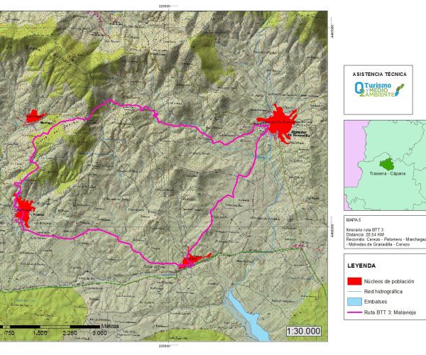
An easy mountain biking trail through the countryside, passing through Cerezo, Palomero, Marchagaz and Mohedas de Granadilla.

It is 20 kilometres long and in the final section you’ll see many terraced hillsides where olive trees are grown, a characteristic feature of these villages.

The trail starts in Cerezo, passes through Palomero, climbs up to Marchagaz crossing the slopes of the Sierra del Canchal. This is the most challenging part of the trail as it is the highest elevation we will reach before we get to the end in Mohedas de Granadilla.

Visit more trails
casa-museo-gabriel-y-galan-1

MTB Route 2. Valle Sotril

MTB Route 2. Valle Sotril

Distance

30.51 km

Difficulty

Moderate

Path

Loop

This trail connects the towns of Guijo de Granadilla and Oliva de Plasencia, passing through the Roman city of Cáparra.

The trail is marked and signposted all the way (except for the Ahigal Reservoir, where there are no signs). Just continue along the border of the reservoir until you see the BTT-2 markings again, which then continue to the end of the trail.

The trail is simple, with no technical difficulties to speak of.

We start at “The Ring” Sports Innovation Centre. We pass the “Gabriel y Galán” Reservoir road and follow the BTT-2 signs.
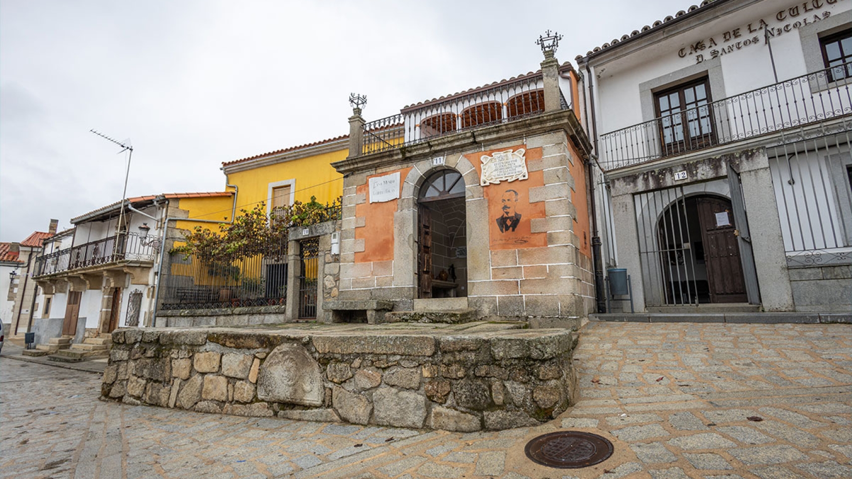
We skirt the Ahigal Reservoir and head towards the village of Ahigal. We pass through Ahigal and take a right turn at the intersection onto a dirt bath that runs through olive groves until we reach Guijo de Granadilla, where we’ll make a short stop to photograph the house-museum of the illustrious poet, José María Gabriel y Galán.
We’ll continue on a paved trail and then turn left onto a dirt trail. A few metres ahead we’ll come to a gate, which we’ll open and close behind us. From there, we’ll continue along the trail until it intersects with the initial section of the route, which overlaps with this stretch.
We continue along the Gabriel y Galán Reservoir road back to the starting point: “The Ring” Sports Innovation Centre.

Visit more trails
Granadilla-destacada

MTB Trail 1. Town of Granadilla

MTB Trail 1. Town of Granadilla

Distance

18.31 km

Difficulty

Moderate

Path

Straight line

Mountain bike trail from “The Ring” at the Gabriel y Galán Reservoir to the village of Granadilla.
The route runs along a dirt path bordering the Gabriel y Galán Reservoir, and through some flood zones depending on the level of the reservoir. There is a small, uncrossable bridge destroyed at the end, which means you have to climb higher up so you can cross without difficulty. The last stretch before reaching Granadilla runs along the road that takes you to the final stop on the trail, the village of Granadilla.

Visit more trails
bronco

SL-CC 222 Palomero – El Bronco Trail

SL-CC 222 Palomero – El Bronco Trail

Distance

4.4 km

Time

1:15 hours

Difficulty

Easy

Path

Straight line

Powered by Wikiloc

The trail begins in Palomero and runs along Calle del Lagar, next to the funeral home. It crosses the bridge over the Arroyo del Corchito stream and immediately turns right and continues along a path that starts out as concrete but soon changes to dirt and heads southwest towards El Bronco.
There is a slight elevation gain for the first kilometre, but that gives way to a gentle, almost imperceptible descent until the end. Along the way, always staying on the main path without taking any detours, we’ll see the Sierra de Dios Padre in Villanueva de la Sierra in the distance. Passing through holm oak dehesas and olive groves, we are approaching the final stretch of the journey, leaving behind the paved path to continue through a cattle grid and over the Bronco dehesa, where we are likely to encounter morocha cattle grazing peacefully.
We’ll cross the dehesa and as we exit through another cattle grid, only a few hundred meters will remain before we reach our destination in the village of El Bronco, walking on a path that runs parallel to the EX-205.

Visit more trails
jarilla-destacada

MTB Route 6. Piedras Labradas

MTB Route 6. Piedras Labradas

Distance

15.4 km

Difficulty

Difficult

Path

Straight line

Powered by Wikiloc

The trail starts in Casas del Monte and ends in Jarilla, passing by the “Piedras Labradas” archaeological site which offers panoramic views. There is an initial descent that leads to a swimming hole, followed by an easy ride winding through orchards.

We get to Jarilla after passing through an iron gate and navigating a short distance. From here, we ascend along a dirt trail with some steep areas and loose stones. As we gain altitude, the landscape becomes more impressive, with centenary oak trees.

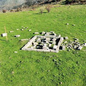
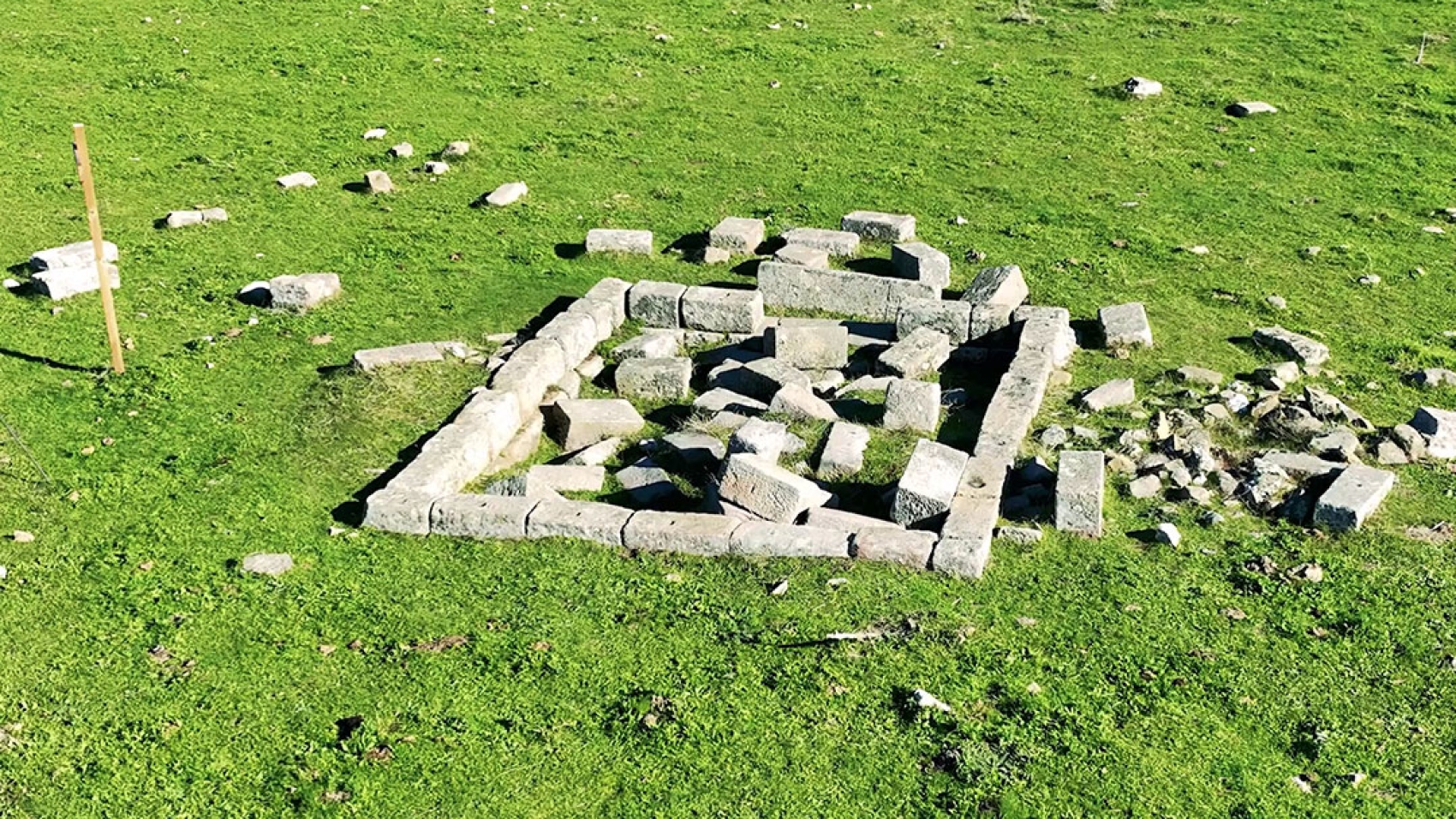
Finally, we reach the Piedras Labradas pass, where we find the ruins of a Roman temple surrounded by granite formations. This historic site radiates the essence of the ancient civilisations that considered it sacred. It is believed to have been the site of a Vettone settlement.

Visit more trails