The Vía de la Plata Roman Road through Ambroz-Cáparra
Portada » The Vía de la Plata Roman Road through Ambroz-Cáparra
On this occasion, we’ll be walking the first section of this road.
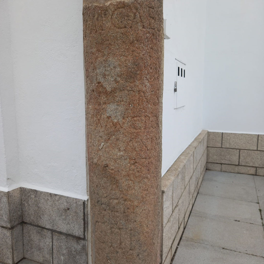
Our journey begins at the spot where the boundaries of Plasencia, Valdeobispo and Oliva de Plasencia coincide. The spot is marked by a fragment of milestone on the roadway. A few meters away, the pedestal of the milestone corresponding to mile CII is conserved in situ, embedded on its left side.
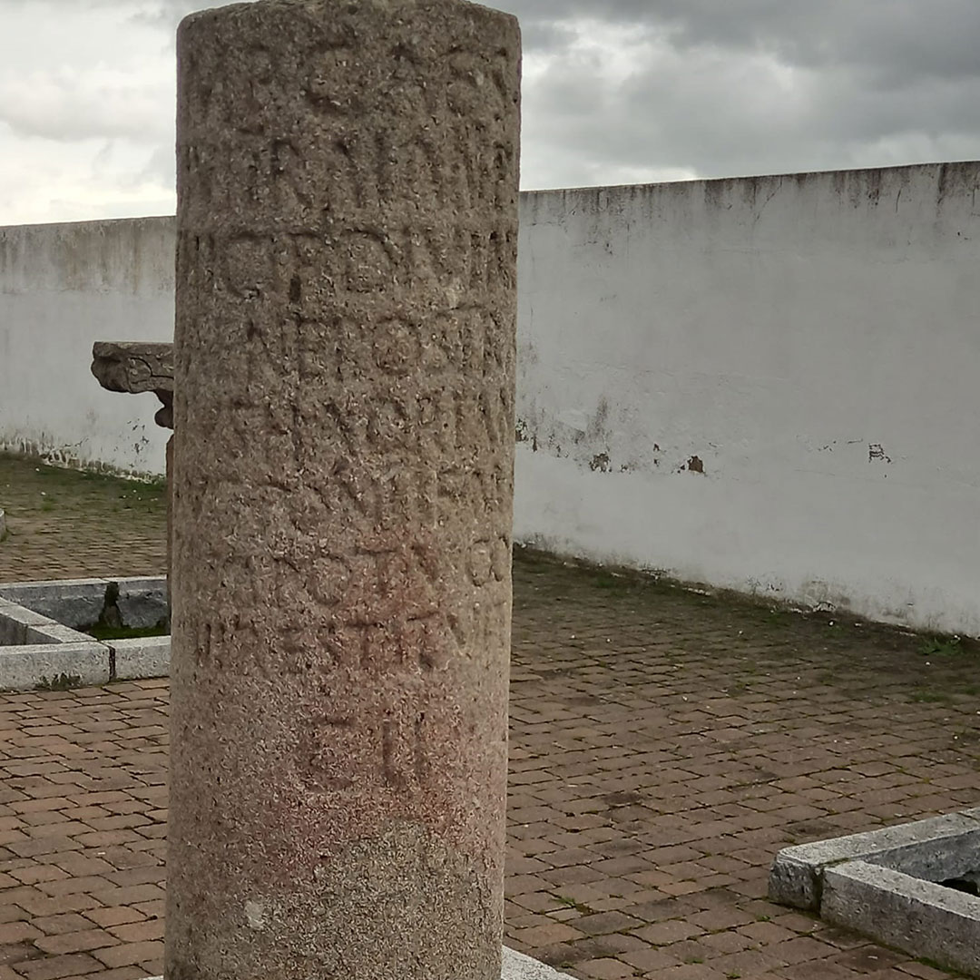
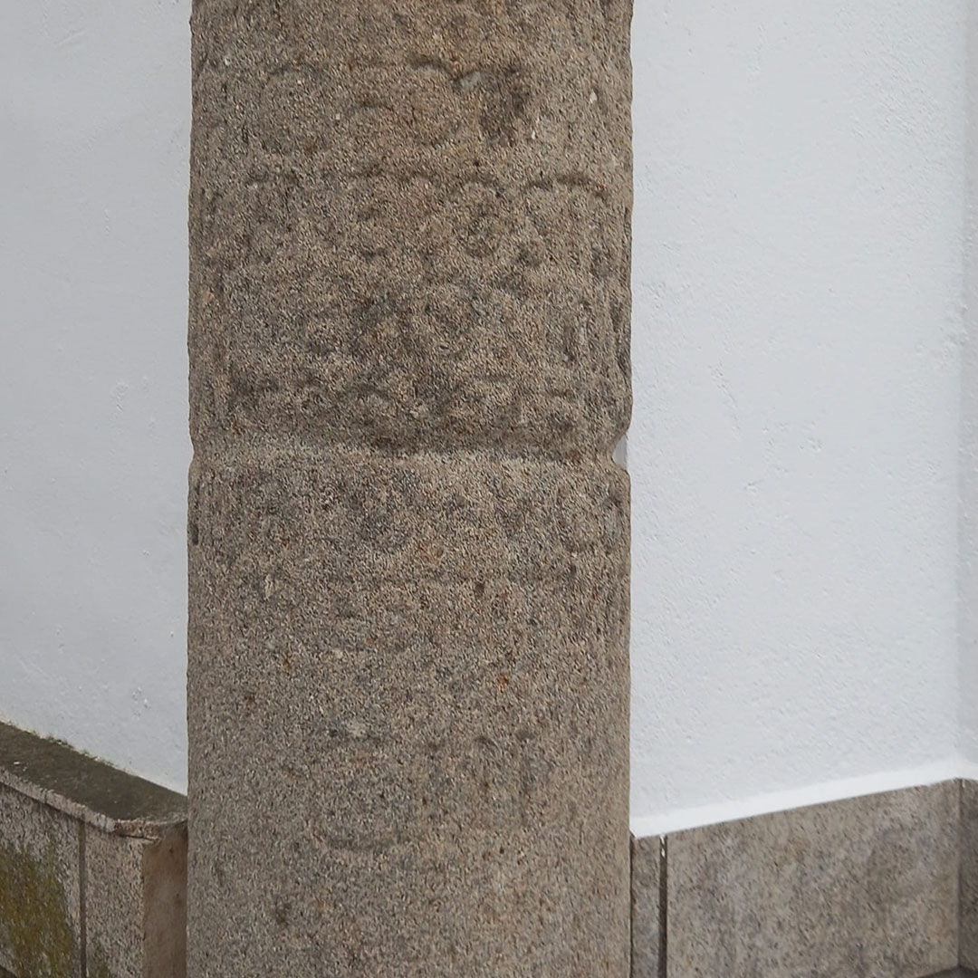
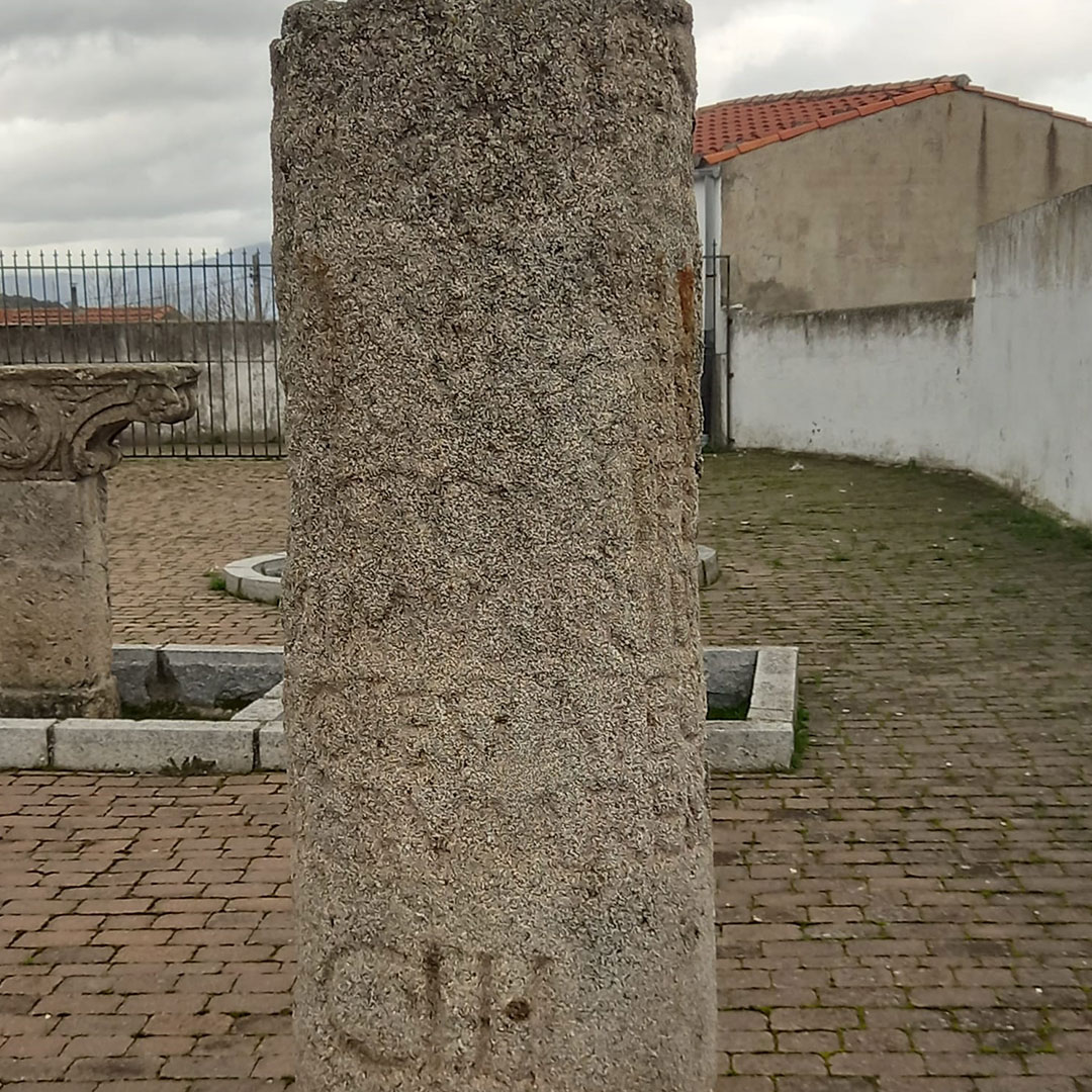
A few metres to the left, there is another milestone fragment in the stream and an intact milestone which has been repurposed as an animal feeder. They date back to the emperors Marcus Aurelius and Maximus. We walk in a northerly direction following the Mérida – Astorga route. About 1,500 metres ahead we’ll see several more milestones, some of them intact. One of them contains an inscription indicating who made it and for what purpose. The best ones were taken to the neighbouring town of Carcaboso and placed in the courtyard of the church where they are conserved. These milestones date back to the emperors Trajan, Hadrian, and Marcus Aurelius, numeral CIII. The inscription is translated in the book titled The Roman City of Cáparra by Jaime Río Miranda Alcón, available for free in pdf format.
About eight hundred metres ahead, we leave Valdeobispo and enter the municipality of Ahigal. Walking on the right side of the road we pass through the Cuarto Real dehesa. On the left side, there are small enclosures for grazing cattle, where several fragments of the milestone numbered CIV, from the time of the emperors Marcus Severus, Valerius, and Maximilian, can be found. If we have to open a gate we should be sure to close it behind us so that the cattle do not get out. Along the way we’ll see several H-2 and H-3 milestones marking the path and the towns we pass through.
Notably, a stone wall on the roadway serves as a municipal boundary between municipalities popularly known as “El Lindón”. This wall also marked the boundary of the dioceses of Coria and Plasencia, as well as the feudal lordships of the Duke of Alba and the Count of Oliva. Even older is the boundary marking the kingdoms of León and Castilla (Treaty of Sahagún from 1158 and Treaty of Tordehumos from 1194).
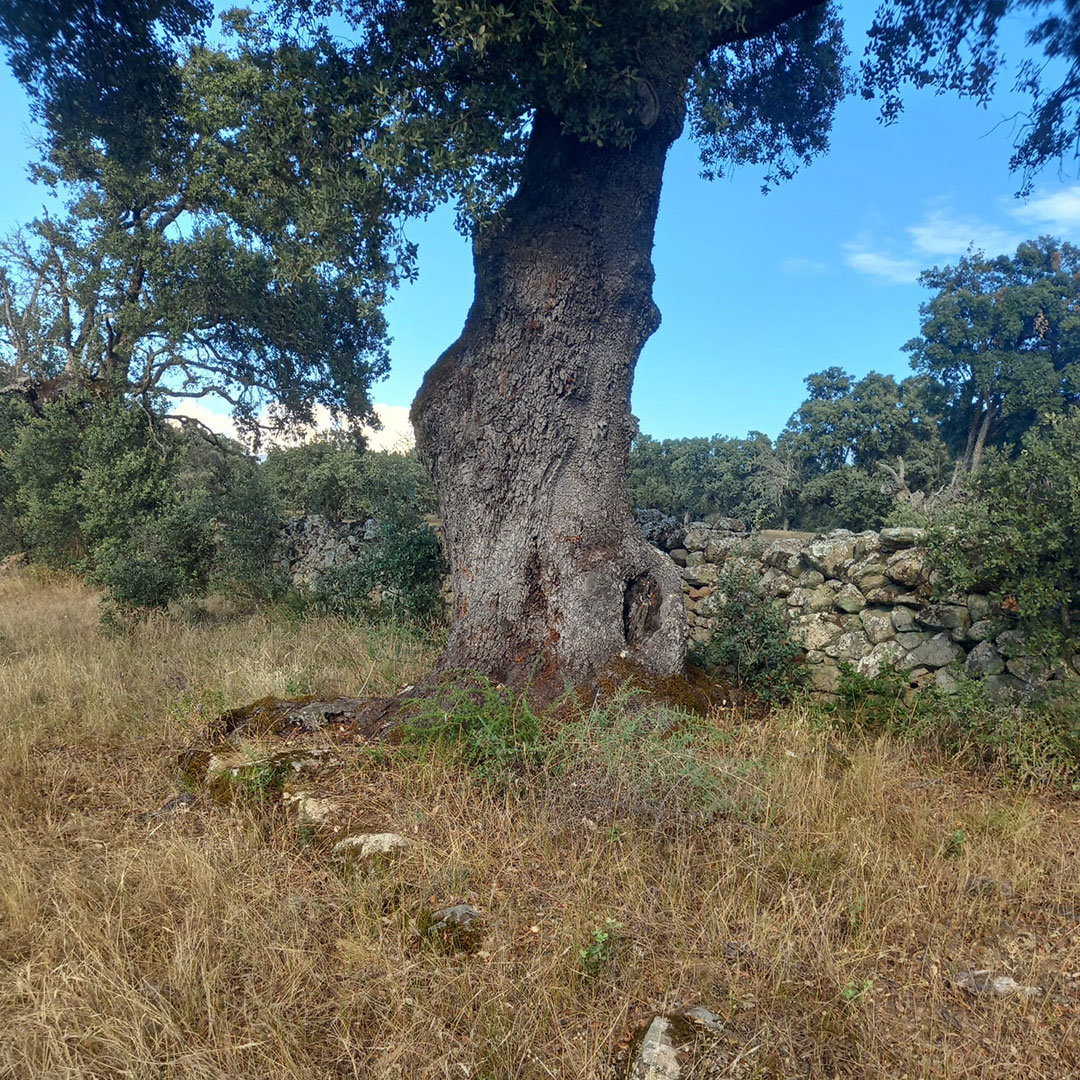
The next milestone is located in Las Navalleras and corresponds to number CV from the time of Tiberius. To our right is the Valtravieso dehesa and the road is flanked on both sides by a landscape rich with holm oaks and cork oaks. A few metres off the road to the left, near Del Cuervo there is a majestic centenary cork oak which is being irreparably damaged by drought.
The road climbs slightly to milestone CVI. To the right is the dehesa of Valverdejo, and to the left, Los Ventorros de Ahigal. Just before this point, we’ll witness one of the most inappropriate actions taken on the Vía de la Plata: an electric tower placed directly on the roadway, disrupting the harmony of the landscape. At this point, the road joins an alternative path of the Way of St. James coming from the Cañada Real Soriana Occidental. An unusual case in this area because the pilgrims also use the Roman road. We cross the CC-206 motorway and enter the Guijo de Granadilla area near the Venta Quemada dehesa.
We continue along the Roman road and Royal Drover’s Road until we reach the Arroyo de las Torricas, where milestone CVII from the time of Maximus, son of Maximinus Caesar, is located. Several holm oaks have grown over the road and at the foot of one of them we can clearly see the curb. A little further on, we arrive at the Arroyo de Los Charcos Blancos, where milestone CVIII once stood, though it is no longer visible here. There is something unusual here: the boundary separates from the edge of the road at this point and descends to the right towards the Los Carrones dehesa. This section is suitable for small vehicles, and since there is no vegetation the top layer of the roadway is perfectly visible.
Milestone CX from the time of Nero Claudius is preserved in three fragments, but a full reconstruction can be seen near the Cáparra Arch. We enter the city through the remains of the South Gate and leave the paved road to the right. We’re on the decumanus (main east-west street), observing the remains of the marvellous Roman City of Cáparra. We pause beneath the grandeur of the Tetrapylon Arch. This is a different story, but one we highly recommend you learn about.
Cipri Paniagua Paniagua
Visit more posts of the Blog
How to Navigate the Reservoirs of Cáceres
The Vía de la Plata Roman Road through the Caparra Mountains
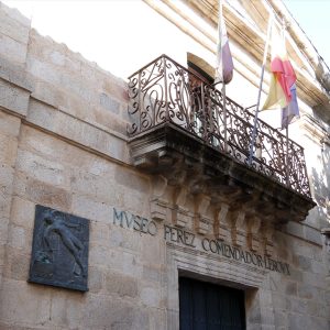
Perez Comendador-Leroux Museum
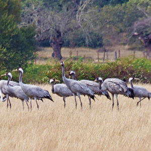
Diverse Birdlife in Ambroz-Cáparra

The Vía de la Plata Roman Road through Ambroz-Cáparra
