Vía Verde de la Plata – Greenway
Portada » Vía Verde de la Plata – Greenway
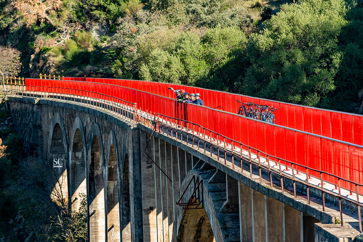
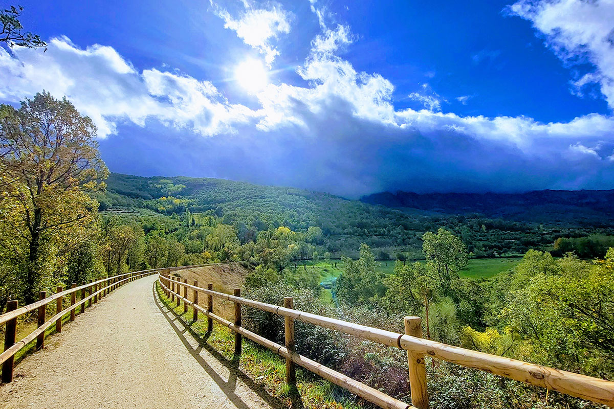
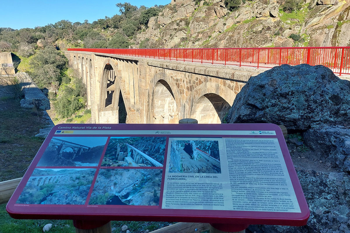
The Vía Verde de la Plata is a spectacular route that crosses the mountains between Castilla y León and Extremadura following the old 19th century railway line. It crosses bridges, narrow passages cut in the rock (trenches) and tunnels, crossing through lush chestnut and oak forests, rivers and gorges. The mountain chestnuts and oaks give way to holm oaks and cork trees as you descend into the valley, where the dehesa landscape takes centre stage.
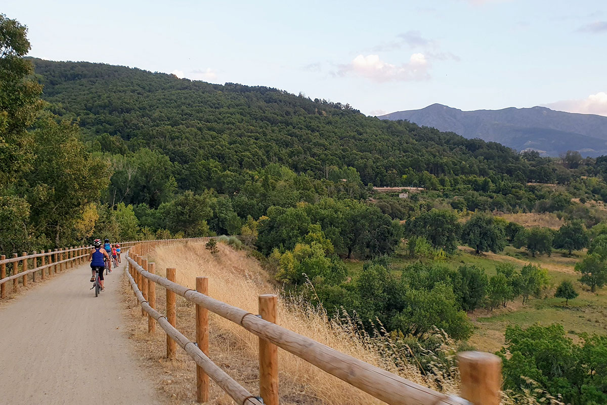
This trail, which is reserved for cyclists and hikers, has a very gentle slope, mostly in a downward direction, making it a perfect outing for children or older adults.
We recommend starting at the old Puerto de Béjar station. You’ll enjoy stunning views of Baños de Montemayor and its reservoir on this trail. After passing through the Baños de Montemayor tunnel (a well-lit tunnel over 300 metres long), you’ll come upon the old train station. Though it hasn’t been restored, it has a wonderful picnic area with a playground and a fountain with potable water.
From here, the trail overlooks olive groves, fruit trees and forests all the way to Hervás. As you cross the Puente de Hierro, a bridge over the Ambroz River, you’ll see the magnificent silhouette of Hervás from the overlook. A little further on, visit the Railway Interpretation Centre free of charge in the former station. The old platform has been converted into a hostel with a bar and a large terrace. You can also visit the village with its Jewish Quarter which was declared a Historic-Artistic Ensemble in 1969.
As you continue on towards Aldeanueva del Camino, you’ll go through more tree tunnels and alongside the “animated forest”, an area where the trees are painted in the shapes of animals. Further along, you’ll see the terraced fruit trees in Gargantilla on your left and Aldeanueva del Camino on your right. Once you pass Aldeanueva del Camino, you’ll come across the old train station, which also features a picnic area, similar to the one at the Casas del Monte station.
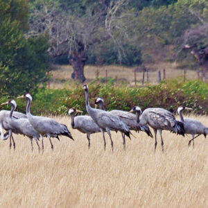
The landscape will gradually shift from mountains to dehesa. From Jarilla onward, you’ll be surrounded by meadows and dehesas. If you’re lucky, you might spot the cranes that come to spend the winter in this region. There are two roadside restaurants in Jarilla just a few meters off the road.
You’ll see some remnants of the past in the form of old abandoned railway buildings in Villar de Plasencia and Oliva de Plasencia. These stations have not been refurbished but they do offer spacious picnic areas and in Villar de Plasencia there is also a restaurant next to the picnic area.
As you continue, the trail runs almost parallel to the N630. As you cross over the Arroyo de la Oliva de Plasencia on a charming metal bridge, the village will be visible to your right.
As you approach Plasencia, you’ll enter the Valcorchero Protected Landscape, a cork oak forest with trenches used for climbing. You’ll cross the Jerte River via the spectacular bridge, the Puente de Hierro or Gastón Bertier, which replaced the old iron bridge, preserving the original stone pillars. There is a picnic area on the other side of the bridge. A little further on you’ll cross another bridge, the Berrocalillo, with a lookout and beautiful views of Plasencia.
The last important landmark on the Vía Verde de la Plata trail is the St. Lazarus Tunnel (pay attention to the time as it is closed at night). This 200-metre illuminated tunnel leads to Plasencia, where you can visit the historic centre which was declared a cultural heritage asset in 1958.
Palmira Valencia Iglesias
Bicis Ambroz
Visit more posts of the Blog
How to Navigate the Reservoirs of Cáceres
The Vía de la Plata Roman Road through the Caparra Mountains
Perez Comendador-Leroux Museum
Diverse Birdlife in Ambroz-Cáparra

The Vía de la Plata Roman Road through Ambroz-Cáparra
